How New Border Security is Impacting Cross-Border Hiking Trails
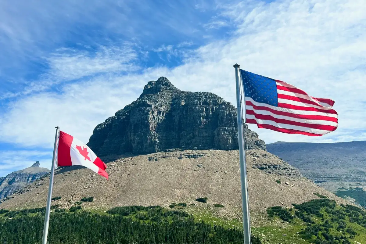
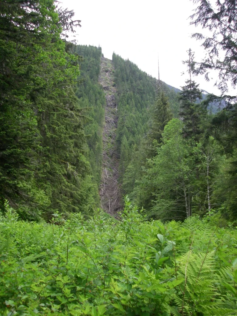
Even if you were bushwhacking deep in the wilderness, it’s difficult to accidentally cross the Canada–U.S. border, because it’s been physically carved into the landscape. Known as “the slash”, this 6.1-metre-wide, 2171-kilometre-long clearcut visually marks the border between the countries in wilderness areas. While the slash itself would make an epic trail, in reality there are few access points to the border in wilderness areas. Those that do exist have been impacted by recent changes to border security on both sides of the line.
Long before arbitrary lines were drawn across the continent, Indigenous peoples of North America had territories that spanned both sides of the line, and still do. While First Nations do hold the right to hunt and gather in traditional territories on both sides of the border, even they must follow the same rules as everyone else when it comes to going over the line.
To legally cross the border between Canada and the U.S., you must use a valid entry point. Although this has always been the rule, in the past there have been a few places where this rule was relaxed, most of them in wilderness areas. Cross-border trails like the Pacific Crest Trail (PCT) allowed informal crossings so long as a special entry permit was obtained beforehand.
A Shift Triggered by the Pandemic
The first impacts to trail crossings at the border came during the COVID-19 pandemic, when it closed entirely for the first time since the War of 1812. This especially affected through-hikers on the PCT, which terminates at Monument 78 on the Canadian border.
In December 2024, a new wave of border security measures was introduced by the Canadian government. Though initially presented as a trade-related policy, it was in fact part of broader efforts to combat drug trafficking and illegal immigration. Unfortunately, these changes have also restricted access to wilderness routes traditionally used by recreational hikers.
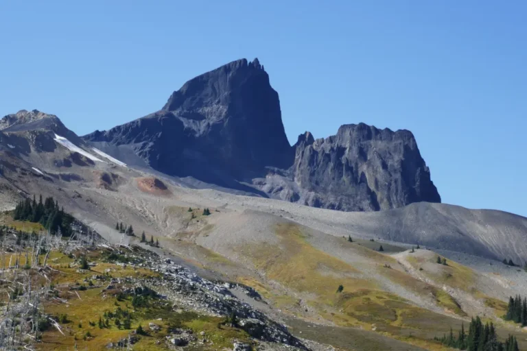
Ross Lake
In 2021, Skagit River Road, the main access to Ross Lake, was heavily damaged during atmospheric river events. With its reopening last year, outdoor enthusiasts at Ross Lake found that there was now a border guard patrolling the lake and they could no longer cross into the U.S.A. In the past, it was common for kayakers and campers to cross the line without interference. Hiking up to the famous fire lookout at Desolation Peak was a particular favourite. While technically this was not allowed by law, unofficially a person could cross the border so long as they returned the way they came.
This informal style of enforcement is in contrast to other cross-border lakes like Osoyoos and Koocanusa, where crossing the border on or around the lakes has always been strictly enforced. In this way, Ross Lake has just been brought up to the same standards. Ross Lake is now patrolled by border security boats from Blaine and monitored by cameras, so if you cross the border there, expect to be detained.
Pacific Crest Trail
The Pacific Crest Trail, or PCT, is a 4,265-kilometre trail running from Mexico to Canada. The last few kilometres from Hart’s Pass to the Canadian border are through wilderness areas of Washington State. After completing the trail, it was far easier for trekkers to cross the border and hike the 13 kilometres out to B.C.’s Highway 3 than to backtrack 48 kilometres to the nearest American exit.
In the past, PCT hikers were able to obtain a special permit allowing them to cross into Canada to exit via the Monument 78 Trail in E.C. Manning Provincial Park. However, in early 2025, this program was cancelled, and all hikers are now required to enter the country at a designated point of entry.
While this sounds simple on paper, the fact is that it now presents a major logistical challenge. After hiking 4,265 kilometres, backtracking 48 kilometres is unappealing to most hikers when the nearest highway is just a few kilometres away.
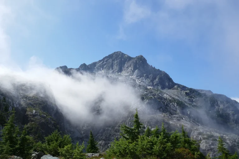
Chilkoot Trail
Running from Dyea, Alaska, to Bennett, British Columbia, the 53-kilometre-long Chilkoot Trail was once a wilderness access route for fortune seekers accessing the Yukon goldfields during the gold rush. Now a National Historic Site on both sides of the line, the trail is a popular route for adventurers and history lovers alike.
The trail was first closed in 2020 as a result of pandemic border restrictions, and in 2021 and 2022 suffered damage during floods, particularly on the U.S. side. When it was announced that repairs to the American side were complete and that the full trail would reopen in 2025, the news was celebrated by hikers who had been waiting four years to make the trek. This was followed by frustration when new border restrictions were announced, prohibiting crossing at the U.S.–Canada border to complete the full trail.
Instead, hikers must now essentially do the trail twice as two separate out-and-back trips, one on each side of the line. Despite the bi-national cooperation involved in restoring the trail, it is now impossible to hike it continuously. The sentiment among many outdoor enthusiasts is clear: clearly, there are no backpackers working in the government!
Remote Areas
Much of the border between British Columbia and the United States is located in deep, remote wilderness, and outside of the Chilkoot and PCT, there are only a handful of trails that cross over:
- Chilliwack River Trail: This trail once connected Chilliwack Lake (Canada) to North Cascades National Park (U.S.), but now heavily overgrown and difficult to navigate, it has fallen into disuse.
- Hozomeen Ridge Trail: Running from Mowich Camp in E.C. Manning Provincial Park, this route crosses into the U.S. on Mt. Hozomeen. Outside peak-baggers and the occasional hiker, it’s little used and essentially a ridge walk to nowhere.
- Holdover Peak / Monument 83 Trail: Home to twin fire tower lookouts, it’s reached via a 16-km Canadian trail or a 48-km route from the U.S. side. Due to a revised border survey in the 1960s, one fire lookout sits on each side of the border. Though the area burned in a 2022 wildfire, the lookout structures appear to have survived.
Why the Change to Enforcement?
Ultimately, increased border security is a result of criminal activity, not hikers.
In late 2024, for example, a man was arrested after crossing the border at Ross Lake and charged with smuggling firearms and drugs from Canada into the U.S. This is just one case in a pattern of increased drug and weapons smuggling and illegal immigration.
While it’s reasonable for both countries to want to deter criminal activity at informal crossings, it’s a bit excessive to target remote wilderness areas used primarily by outdoor enthusiasts. It’s hard to imagine smugglers hauling contraband 60 kilometres through the deadfall in Manning Park and through the Washington State wilderness.
Outdoor enthusiasts on both sides of the border want to see a system set up to allow cross-border hiking at places like the Pacific Crest Trail–Monument 78 Trail and the Chilkoot Trail. One of the biggest oversights with building trails, both historically and today, is not factoring in long-term management of the trail, including maintenance and cross-border cooperation.
FAQs About Cross Border Hiking Policy Changes
1. Can I still exit the Pacific Crest Trail through Canada?
No. As of 2025, all hikers must cross into Canada at an official port of entry.
2. Is it illegal to cross at Ross Lake by kayak or on foot?
Yes. Crossing the border around and on the lake is prohibited and enforced.
3. Can I get caught by hiking over the border in remote areas?
Yes. The border is monitored by motion-activated trail cameras and drones in remote areas.
4. Are there any current plans to reintroduce trail permits?
Not officially. Check for updates at the Pacific Crest Trail Association.